


This campaign showed me how direct mail could give you a degree of precision, closeness, and engagement that we didn’t get with digital.
– Christine Girard
Communications Director, Cité de la Santé Foundation
Success stories
Discover how organizations use data strategies and advanced analytics to develop deeper audience insights and optimize targeting.

Cité de la Santé Foundation
The not-for-profit foundation combined their first-party data with Canada Post data tools to identify audience segments that aligned with the geographic, demographic and behavioural attributes of existing donors.
Read their story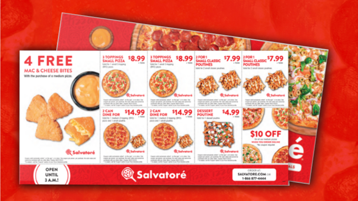
Pizza Salvatoré
The pizzeria used Canada Post data tools to overlay multiple data sets and demographic attributes, identifying and targeting under-exploited areas with limited competition.
Read their storyLicensed data tools
Create and manage campaign mailing lists in-house using licensed address and postal code data. Data is delivered via secure File Transfer Protocol (FTP) with monthly updates. Review the data production schedule for data release dates.

Postal Code Address Data
A complete list of Canadian postal codes and the range of addresses associated with each one.
- Validate addresses to improve data hygiene
- Overlay and link other data to support audience analysis and post-campaign insights


Delivery Mode Data
Provides the information required to presort mail and qualify for optimal mailing prices.
- Target specific markets at a granular level
- Prepare mail requiring special handling

Householder Data
Indicates the number of houses, apartments, farms and businesses within a forward sortation area (FSA), broken down by delivery routes.
- Analyze market awareness and penetration by FSA or route

Householder Elite Data
Indicates the number of houses, apartments, farms and businesses within a full postal code, broken down by delivery routes.
- Target delivery routes based on market penetration
- Identify postal codes associated with higher response rates
- Support CRM development with demographic context

Postal Code Latitude/Longitude Data
Provides geographic coordinates at the postal code level (town or city level in rural areas), along with dwelling counts.
- Support business intelligence and spatial analysis
- Link geographic, demographic and performance data

Postal Code Conversion File
Shows how postal codes can be linked to Statistics Canada census geography.
- Map data for spatial and census-based analysis
- Support targeting and reporting using standard geographic frameworks

How to get started
Submit a request to connect with one of our data specialists who will review your needs and provide tailored guidance, pricing and next steps. To speak with a data specialist directly, call 1-877-281-4137.
Additional data solutions

Clean your customer list
Ensure you have accurate addresses to increase response rates, reach more customers and reduce undeliverable mail costs.

Prospect lists
Acquire new customers by reaching residential and business addresses using postal codes and demographic attributes.

Data visualization
Use our visual mapping tool to analyze customer data and identify look-alike audiences and new acquisition opportunities.
Have more questions?
Not sure which data solution will drive the most success for your campaign? Send us a note and we can help you find the most effective approach.